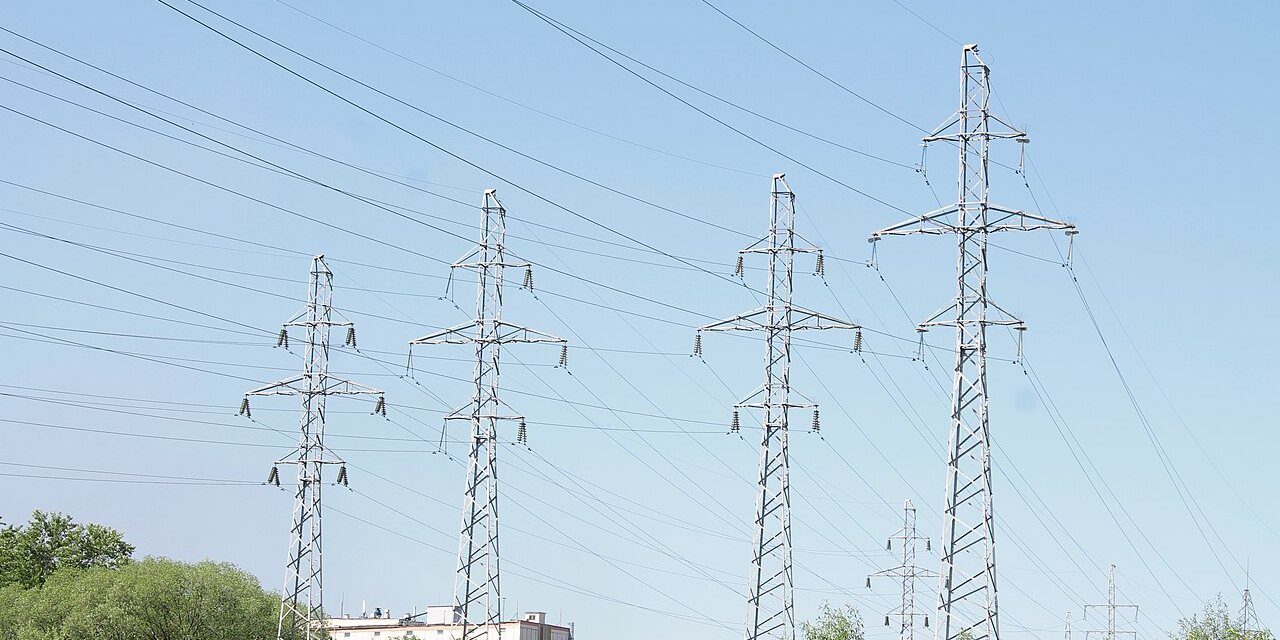
Power
Distance from the parcel boundary to the nearest 345 kV and 138 kV lines, and who owns them.
Type a county or an owner. See the power, gas and flood picture for any Texas parcel in seconds.
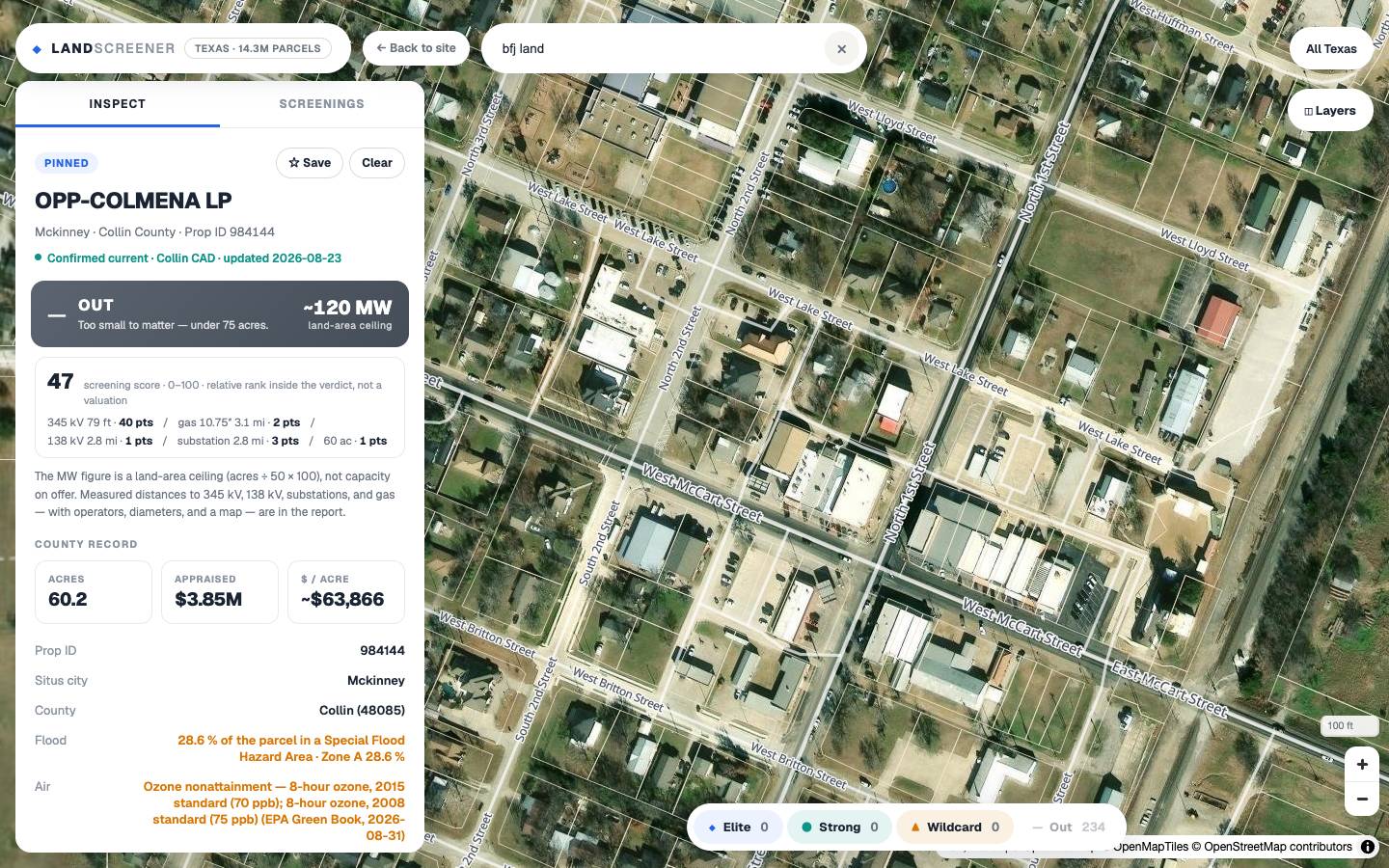
Every screening runs the same five checks, measured from the parcel boundary. Each one has killed real deals late.
Distance from the parcel boundary to the nearest 345 kV and 138 kV lines, and who owns them.
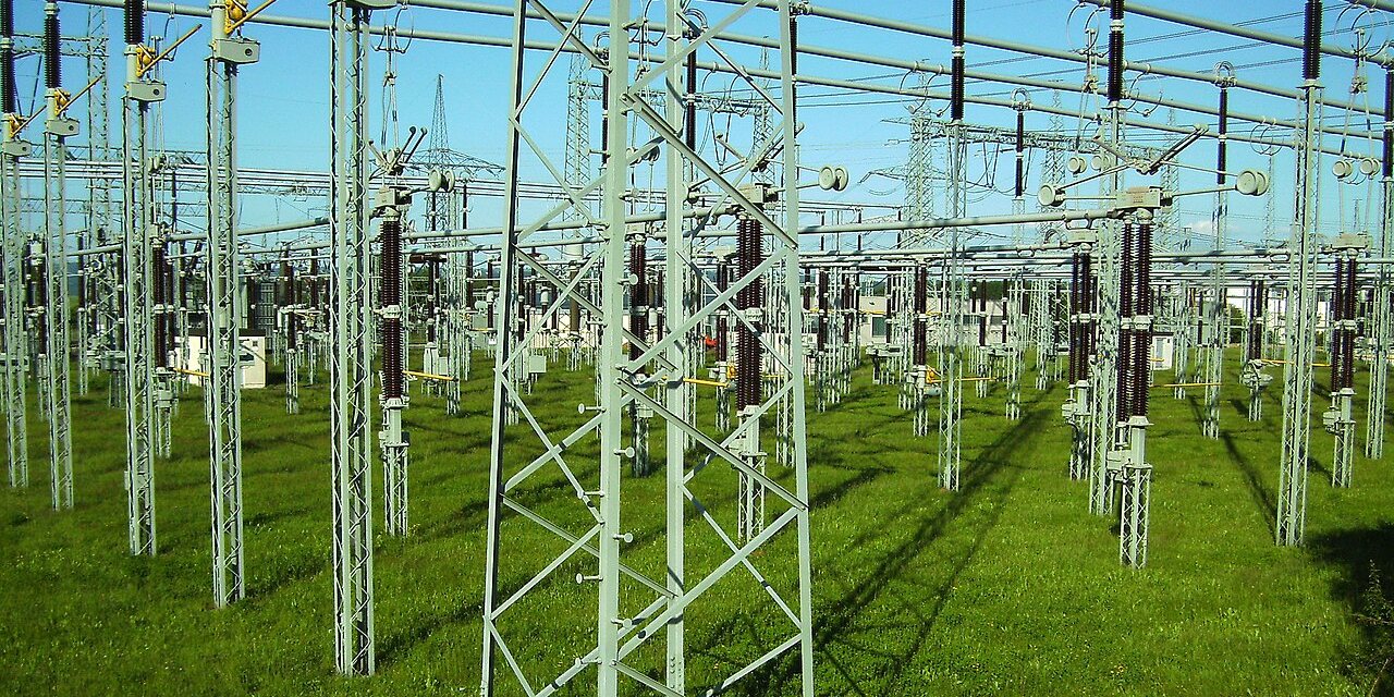
The nearest substations, how far, and at what voltage. Interconnect range is the number that matters.
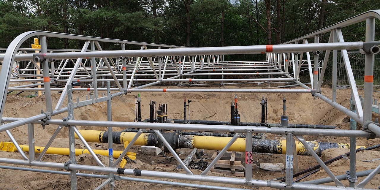
Nearest pipelines with operator and diameter, so on-site generation is a real option or plainly isn't.
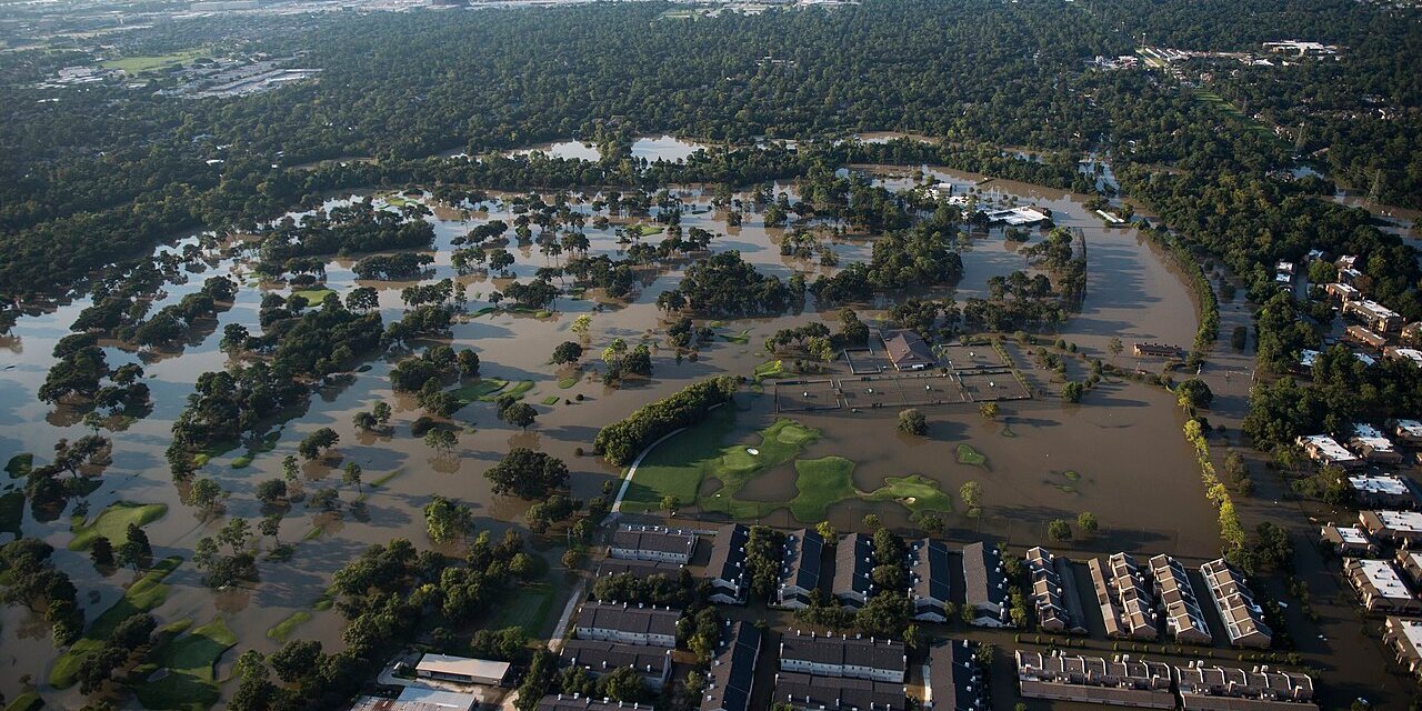
Share of the parcel inside a FEMA flood hazard area, and which zone. Buildable envelope, not just the boundary.
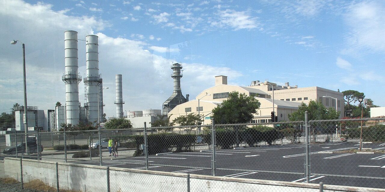
Attainment status for the county. Nonattainment can add a year to permitting backup generation.
Not included: title work, environmental Phase I, geotech, or water rights. That’s diligence. This is the filter that decides whether diligence is worth buying.
The answer is on page one. This is a real one, for a 759-acre assemblage in Collin County.
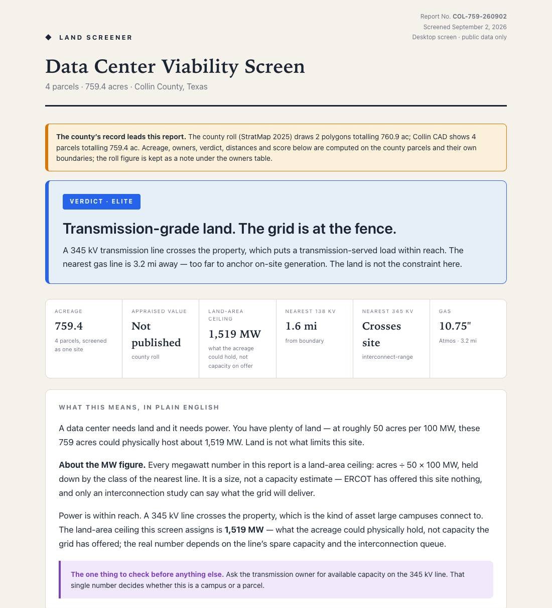
Proceed, conditional, or walk. Written in plain language you can forward to an investment committee.
County appraisal records, OpenStreetMap transmission and substation layers, Railroad Commission pipelines, FEMA flood layers, EPA attainment. Every finding cites its source.
Each report carries the infrastructure map behind it, so your engineers can pick up where the screen stopped.
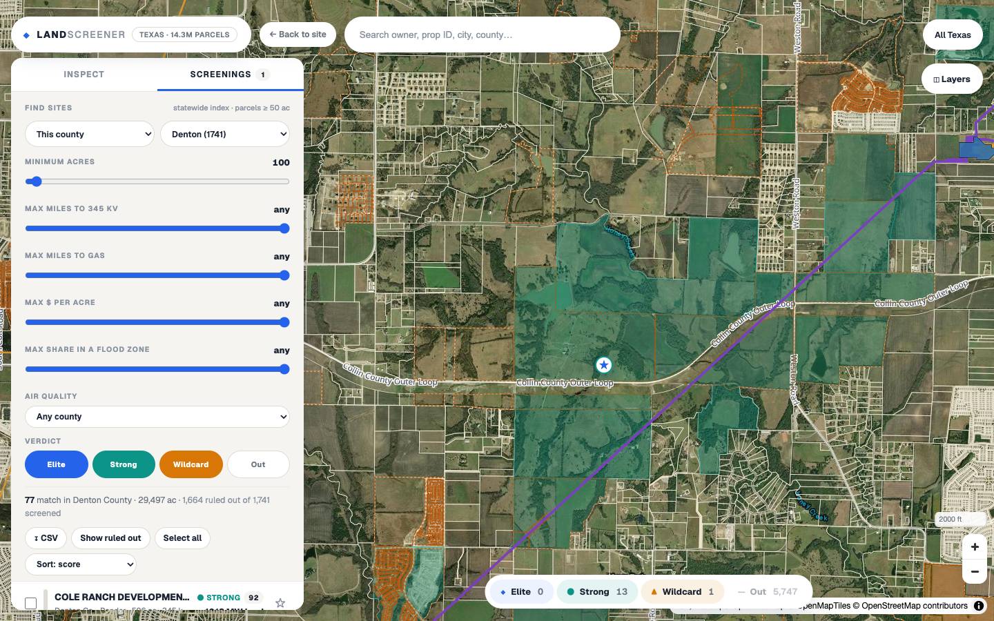
Search an owner, prop ID, city, or county on the free map, or let the statewide index rank every parcel that fits your filters.
Every parcel on screen is measured from its boundary to the nearest 345 kV line, substation, and gas pipeline, then scored by one fixed rule set. Owner names are checked against the county appraisal district as you look.
One click builds the written report for a parcel or an assemblage, with the map, the distances, the current owner, the open items, and a link you can forward.
Cheap enough to screen every parcel you're considering. So the disqualifying problem shows up before you spend anything.
The expensive mistake is the site you carried for three months before the grid told you no. Ten dollars and ten seconds beats that every time.
Unlimited screening reports and the daily Capital Signal Brief for one flat price, or a single report with no subscription.
Unlimited reports on any parcel or assemblage in Texas, plus the Capital Signal Brief every morning: who just got funded to build capacity, and who says they need it.
No subscription. The trial: pick the parcel, get the report.
Search, screen, save, and export without an account. Reports are the product.
Billing is not live yet. Reports are free during the beta, and nothing on this page can charge you.
No, and we’d be suspicious of anyone who said otherwise. This is the step before diligence: a fast, cheap read on whether the site deserves the expensive work. Title, Phase I, geotech, and water still belong to your diligence team.
You get the same report with an Out verdict and the specific reasons: how far the 345 kV line is, whether a pipeline is in reach, what the acreage caps. A kill is the product working, and it costs the same as a pass.
No. A flat membership, no position in your deal, no fees from utilities, brokers, or anyone else in the transaction. The report has no reason to lean either direction.
Nothing. Open the map, find the parcel by owner, prop ID, city, or county, and press Generate report. No account, no upload, no call.
All of Texas today: every parcel in all 254 counties, screened against the same transmission, substation, and pipeline layers. Other states follow the same pipeline once their parcel data is in.
Parcels come from the state’s 2025 appraisal-roll compilation; owner names are re-checked live against the county appraisal district whenever a parcel is opened, and the report says which source it used. Transmission and pipeline layers are refreshed with each data build and dated in the report.